


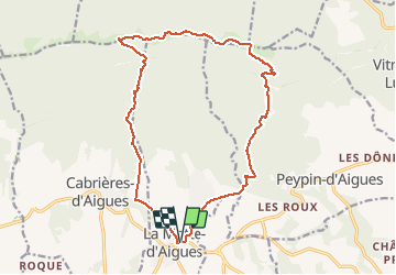

6,5 km | 9,7 km-effort


Benutzer


Kostenlosegpshiking-Anwendung
 SityTrail
IGN / Geografische Institute
SityTrail World
Die Welt öffnet sich für Sie
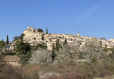
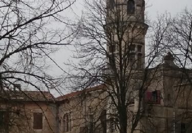
Tour Zu Fuß von 18,4 km verfügbar auf Provence-Alpes-Côte d'Azur, Vaucluse, La Motte-d'Aigues. Diese Tour wird von JMCMoreau vorgeschlagen.
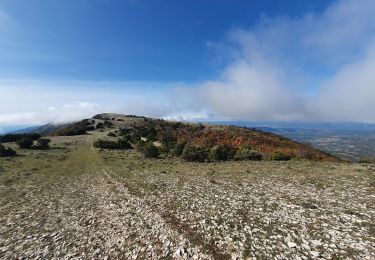
Randonnée pédestre qui répond aux attentes des sportifs.
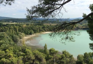
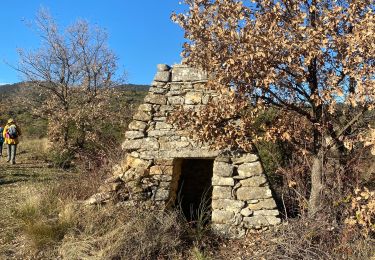
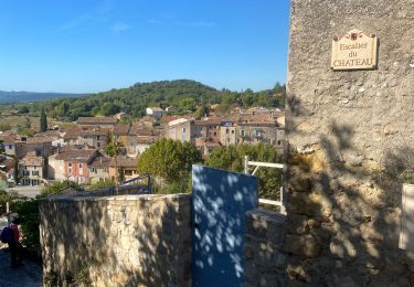
Magnifiques points de vue.
Quelques passages délicats.
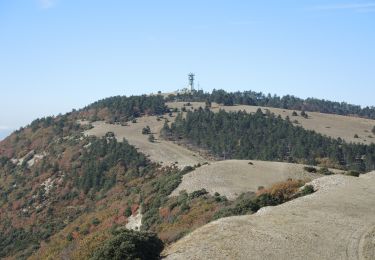
Des crêtes on domine la vallée d'Aigues et le mont Ventoux
Wandern
Wandern
Wandern

Wandern
Wandern
Wandern
Wandern
Wandern
Wandern